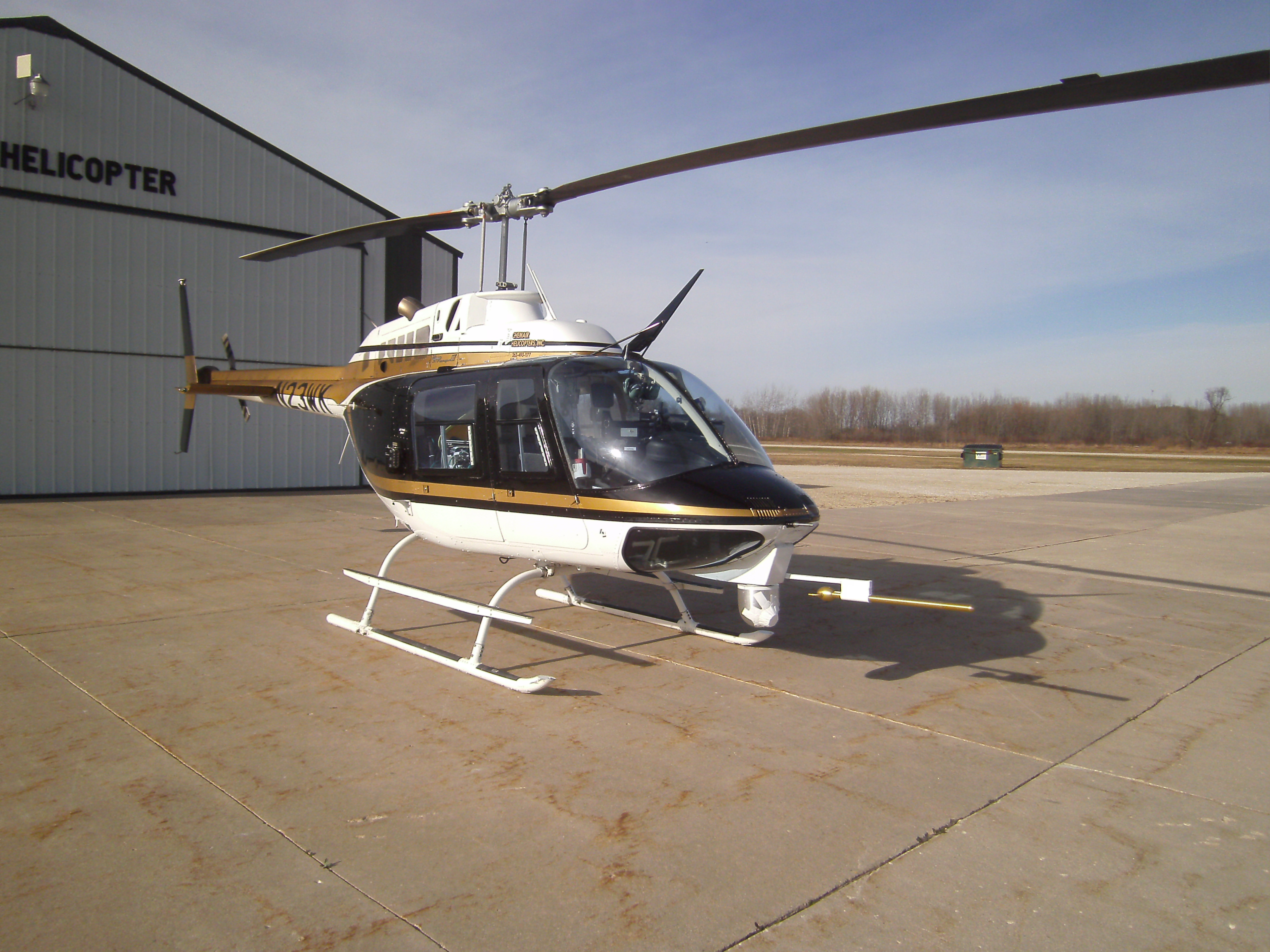
Chemair has extensive experience in aerial mapping.
We work with surveying and mapping firms, LiDar, and FLIR imaging companies to fly their data gathering systems to make it more efficient and easier to solve their complex engineering challenges. All installation work is FAA Approved.
We are also equipped to provide a chase fuel service vehicle for helicopter work, as jet fuel is not readily available in remote locations.
All our aircraft are equipped with automated GPS tracking systems.


Applications for Aerial LiDAR:
- 3D Modeling
- Floodplain Evaluation
- Disaster Management
- Coastal Erosion Tracking
- Airport Facilities Survey
- Nautical Charting
- Land Use Mapping and Planning
- Volumetric Studies
- Utilities Corridor Monitoring
- Transportation Planning
- Post-Incident Responding
- Engineering Applications
- Urban Planning
- Solar Installation Planning
- Forestry
